

Our Services

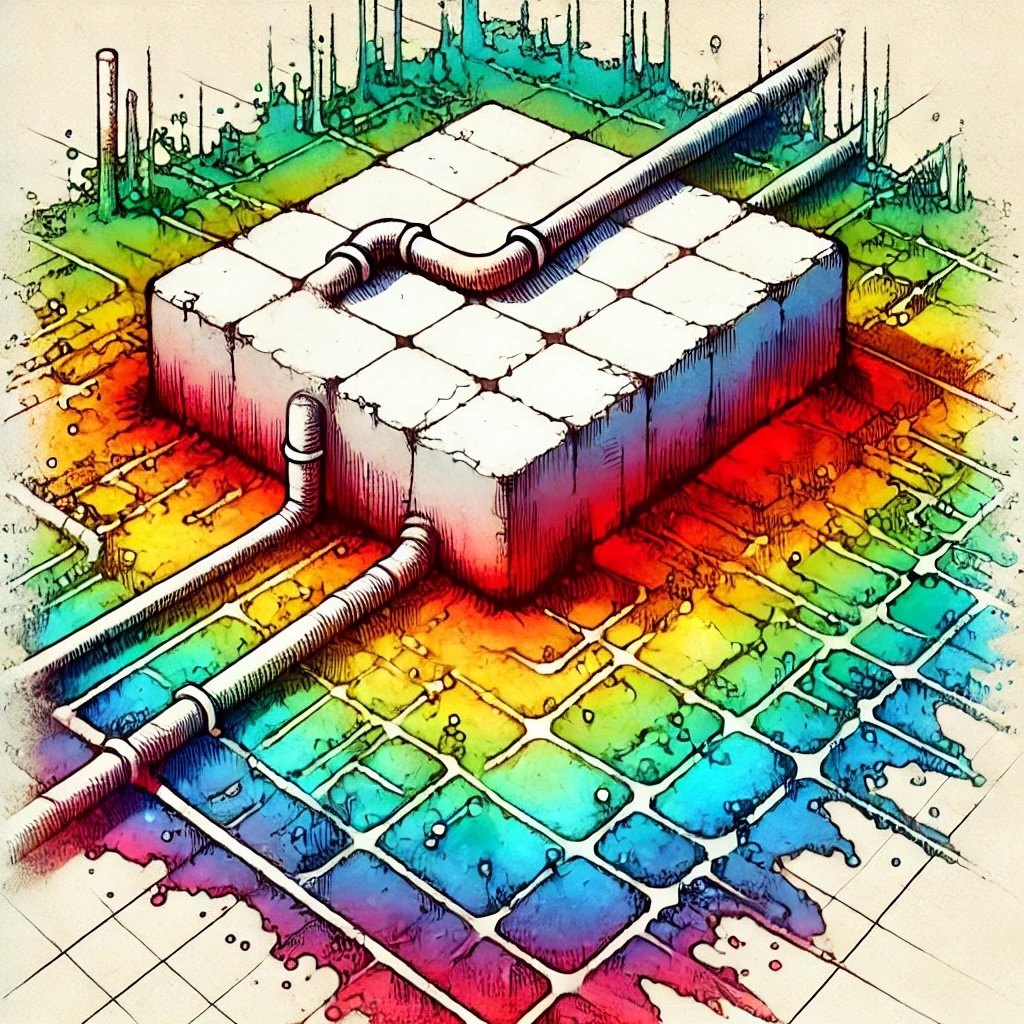
Our utility locating service uses Electromagnetic Detectors and advanced Ground Penetrating Radar (GPR) technology to precisely detect and map underground utilities such as pipes, cables, and conduits. This non-invasive method ensures accurate identification of subsurface infrastructure, reducing the risk of costly damage during excavation and construction projects.

Our concrete scanning service utilizes advanced Ground Penetrating Radar (GPR), the Leica C-thrue, to detect rebar, post-tension cables, and other embedded objects within concrete structures. This precise, non-destructive method ensures safe and efficient drilling, cutting, or coring without damaging critical infrastructure.

Our subsurface imaging service leverages advanced geophysical scanning technologies to map and analyze underground features, including concrete, pavement, soil layers, and buried structures. This precise, non-destructive method is essential for assessing and understanding subsurface conditions. We also offer detailed mapping deliverables that provide clients with precise data visualizations that will support informed decision-making.
Our 3D mapping service provides models of concrete structures, underground utilities and other subsurface features. Using advanced mapping software, we deliver accurate visualizations of buried features, enabling precise planning and analysis for construction, infrastructure development, and site assessments that are compatible with Building Information Modeling (BIM) requirements.